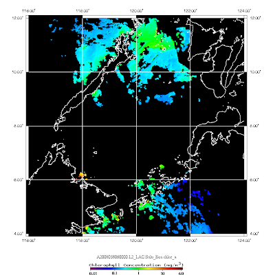
Vietnam MODIS Satellite Images from Yasuoka and Takeuchi Lab, The University of Tokyo Prof Takeuchi from Institute of Industrial Science, University of Tokyo has provided the Daily Level 2 MODIS satellite on the following FTP site ftp://webmodis.iis.u-tokyo.ac.jp/UNU/ Naming rule is as follows: MXDYYYYMMDDhhmm-VAR-GEO MXD: MOD->Terra, MYD->Aqua YYYY: year MM: month DD: day hh: hour in UTC mm: minute VAR: variables (chlor_a, sst, nLW_551 and K_490) GEO: geographical location All data are packed in 16bit signed inter (INT16) in little endian. Following scaling factor (a) is used to get original value (y) from pixel value (x) on each parameter respevtively. y = a * x Chloroplyll-a: 0.0001 SST: 0.005 (Celcius degrees) normalized water leaving radiance at 551nm: 0.001 diffuse attenuation coefficient at 490nm: 0.0002 If you are using Seadas or ENVI to display the Vietnam MODIS image, it will be input as flat file. Some detail information is needed to read the file. Following are the ex